Artistic Topography
Los espacios de arte componen el suelo geográfico por donde pasan los ríos
Art venues are the geographical land through which rivers circulate

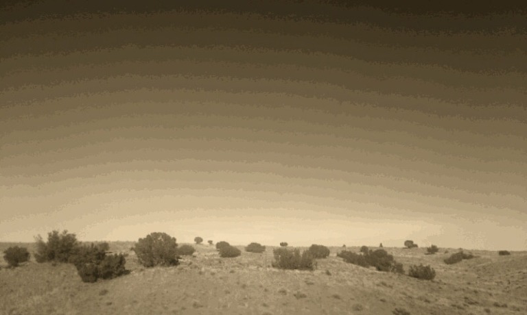
La topografía, técnica que consiste en describir y representar en un plano la superficie de un terreno, esboza aquí el relieve por el cual los ríos de artistas se mueven. Museos, galerías y centros de arte componen el territorio que estos mapas representan. Es interesante notar que los ríos y lagos están en relación directa con las características de la superficie. Estos mapas esquematizan el flujo de los artistas y las elevaciones o depresiones en el suelo a manera de montañas o lagos. El objetivo de este tipo de mapa es reconocer el paisaje cultural de Latinoamérica y el Caribe y entender la actual relevancia de estos espacios para esta generación de artistas. // Topography, the technique that describes and represents a specific terrain on a flat surface, draws the landscape in which the rivers of artists flow. Museums, galleries and art venues make up the territory that these maps represent. The maps schematize the flow of artists as well as the elevation or depressions in the ground as mountains or lakes. The aim of these maps is to recognize the cultural landscape of Latin America and the Caribbean in order to understand the relevance of such venues for this generation of young artists.
Montaña = lugar con recomendaciones y expositores; el número determina su altura
Mountain = venue with recommendations and exhibitors; its number determines the height
Lago = lugar con varios expositores; el espacio no recibe ninguna recomendación
Lake = venue with exhibitors, but without recommendations
Géiser = lugar que recomiendan artistas; el espacio aún no cuenta con expositores
Geyser = venue with recommendations, but without exhibitors
Valle = lugar con un solo expositor
Valley = venue with only one exhibitor
Tras el seguimiento del cauce de los ríos, es decir, de la transcripción de datos de sus currículums y de sus recomendaciones sobre lugares, se determinó el panorama artístico. Se preguntó a los artistas sobre espacios dedicados a la promoción del arte de su generación y se conjugó con la información proveniente de los lugares en donde expusieron. Se diseñó una muestra de estos lugares en una escala de recomendaciones y expositores, en donde la base de una montaña o la dimensión lineal de un lago son el número de expositores (eje X), mientras que la altura de una montaña o la depresión del suelo proviene del número de recomendaciones (eje Y) que ese lugar obtiene. // The art scene is built by following the flow of the rivers, in order words, through the artists’ resumes and their recommendations of art venues. Artists were asked to recommend other artists and art venues, and combined with the information of their resumes, the art landscape slowly appeared. Venues with recommendations are considered to be mountains, as opposed to lakes, which are places without recommendations but with a large influx of rivers (exhibitors). This information is translated into a graph in which the number of recommendations is the“Y” axis, and the number of exhibitors is the “X” axis.
| Paralelo Geográfico // Geographic Equivalent |
Expositores // Exhibitors (X) |
Recomendaciones // Recommendations (Y) |
|
Montaña // Mountain
|
|
|
|
Lago // Lake
|
 |
|
|
Géiser // Geyser
|
|
 |
|
Valle // Valley
|
.
|
|
La base de datos topográficos suman más de mil lugares, pero estos mapas se enfocan únicamente en los cruces de los ríos en estos espacios, es decir, cuando dos o más artistas exponen allí y dos o más artistas recomiendan esos lugares, dando un total de 465 cruces, de 2055 espacios de arte en 20 países distintos. Los resultados de estos mapas arrojan datos únicos, mostrando que museos internacionalmente conocidos son para esta generación lagos (sitios donde se decantan los ríos) y espacios pequeños e independientes son altas montañas. // Currently, the topographic database has 2055 art venues from 20 countries worldwide, with a total of 465 intersections. This research presents unique results about cultural locations, in which the artist network data describes a well-know museum as a small mountain, and a suggests a non-profit center to be a huge and important venue..

¿Cuál es el territorio artístico actual? Aquí se muestran algunos de los lugares más representativos para esta generación de artistas. *La información que aquí se presenta está en constante actualización y cambio, como en todo paisaje real. // What is the current artistic territory? Below are some examples of the most representative places for this generation of young artists. *This information is constantly updated because it changes continually, in the same way any real landscape changes endlessly.
Estudios Topográficos por país
Paisajes Culturales del Tercer Entorno
Y próximamente más países:


..
Arttextum es un proyecto inscrito en el Instituto Nacional del Derecho de Autor, México


